


Current Flood Risk
Introduction
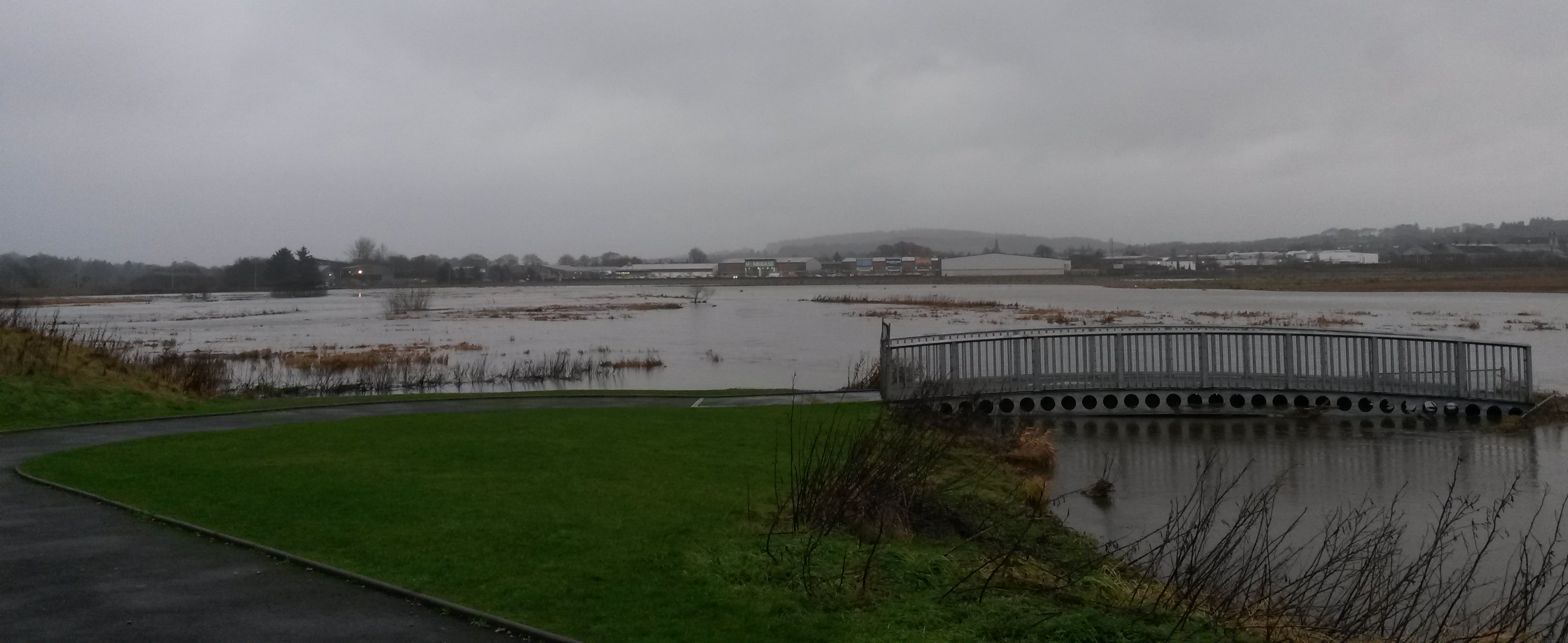
In 2016 SEPA released revised indicative maps showing areas at risk from river, coastal and surface water flooding throughout Scotland. The mapping was undertaken to improve the understanding of flood risk, to raise public awareness of flood risk, and encourage individuals and organisations to take steps to reduce the risk to themselves and their property, where appropriate. This study has provided updated flood maps for Inverurie and Port Elphinstone. This updated mapping provides a better level of detail, sufficient to assist local authorities to take a more proactive approach to flood risk management, and develop avoidance, alleviation and assistance strategies through exercise of their land use planning, flood protection and emergency planning functions. Links to follow.
|
|
Outlines |
200 year flood depths |
|
Rivers Urie and Don |
What do these maps show?
When a river floods the severity of the flood is known as a 1 in x year flood. This terminology represents the probability of that event occurring in any year. For reference, the January 2016 event (Storm Frank) on the River Don at Parkhill is estimated to have had a greater than 1 in 120 chance of occurring in any year (or 0.82% annual probability). This does not mean that the flood will occur once every 120 years; it could occur tomorrow and again next week, but on average a flood of that severity will occur once every 120 years. For example, there is a 1 in 100 (or 1%) chance of a flood exceeding the 100 year flood in any one year. A list of frequently used return periods and their respective annual probabilities is provided in the table below:
|
Return Period |
Annual Probability [AP] (%) |
|
2 year |
50 |
|
5 year |
20 |
|
10 year |
10 |
|
25 year |
4 |
|
30 year |
3.33 |
|
50 year |
2 |
|
75 year |
1.33 |
|
100 year |
1 |
|
200 year |
0.5 |
|
1000 year |
0.1 |